Who we are?
We are a team of professionals whose activities are aimed at solving any problem related to geospatial data. Our versatility, flexibility of the technological cycle and experience allows us to participate in local,
WHAT CAN WE DO?
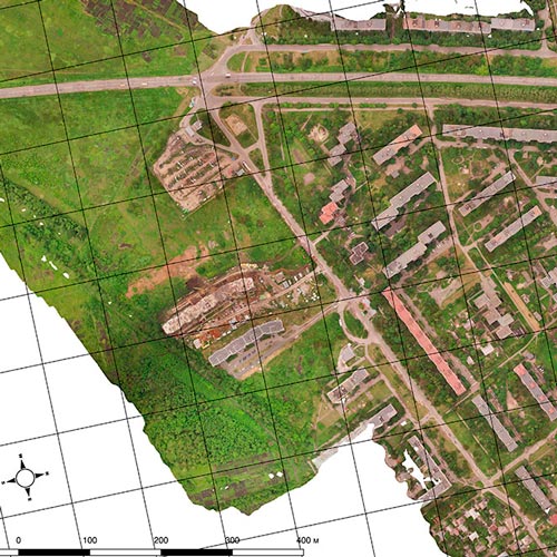
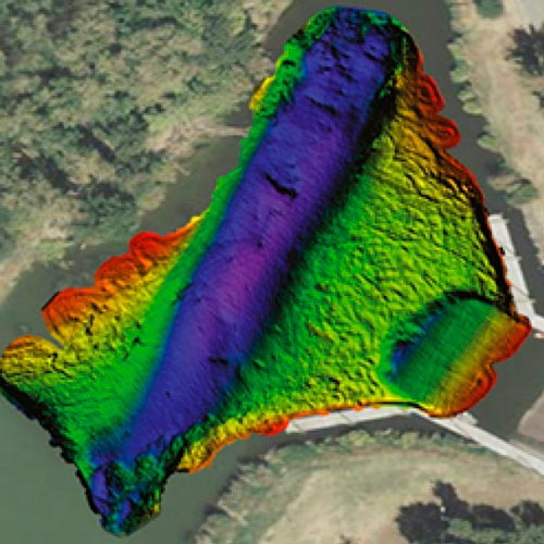
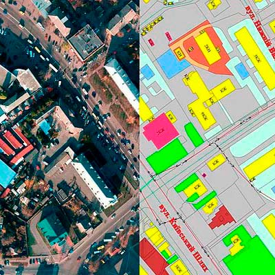
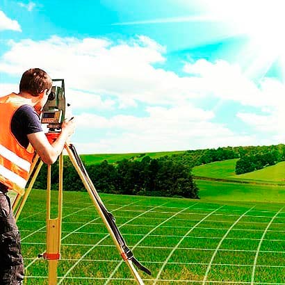
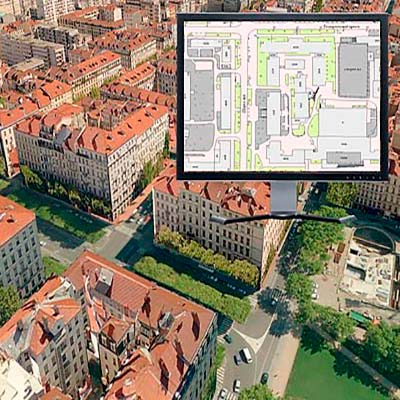
For our clients we offer services for the implementation of projects related to the creation of high quality geodata products. Our company is able to ensure the reliable implementation of the full cycle of work: from the collection and processing of geo-spatial data to the integration of data into GIS, development of design solutions and the creation of a geoportal. Our main goal is to provide our Client with the most complete and accurate data about the area. Qualified photogrammetrists, cartographers, GIS operators, surveyors and land surveyors will ensure the quality of your project. With the involvement of technological and expert capabilities of “BlomInfo-Ukraine” we are able to offer unique in accuracy and completeness of geodata arrays for modern and efficient GIS solutions. Our area of responsibility includes full consulting support to clients and finding the best solution for the project.
WHO DO WE WORK FOR?
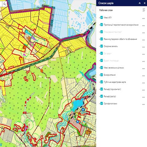
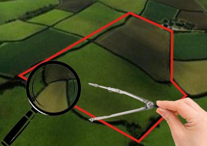
“BlomInfo-Ukraine” products and services are used for numerous and various areas of human activity and organizations. Our special pride is that our work is socially useful. We help professionals better study the environment and assess the impact that the industry has on it. We help rescuers be as prepared as possible for an emergency and provide assistance as soon as possible. We provide local authorities with the information they need to make decisions and ensure the sustainable development of human settlements. We reduce the costs of society or business by optimizing projects for the construction of engineering and transport networks. We help document all land objects in order to preserve your property or historical and cultural heritage. We help with the creation and filling of the geodatabase of urban cadastre. We help UTC collect, organize and effectively use information about its land resources. Our main goal is to provide you with the maximum return on investment in geospatial data, regardless of the place of collection - from the sky, from space, as a result of field research or from other sources such as documents, paper maps, charts and databases.